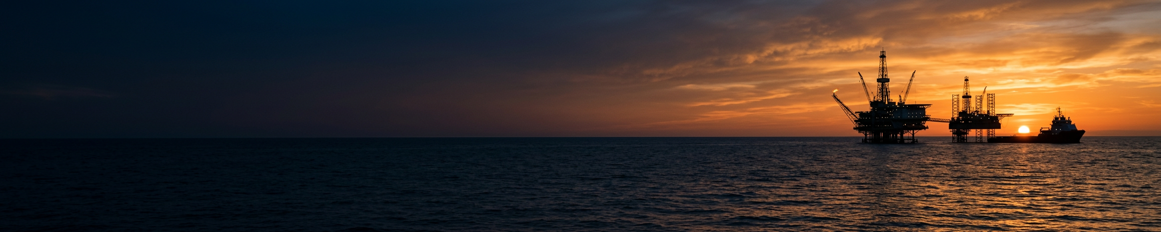
Gulf of America marine dashboard — Port Fourchon, LA
Select Location
29°06.6′ N 90°12.0′ W Central Louisiana Coast
Active Marine Alerts
No Active Marine Warnings
No NWS warnings, watches, or advisories for this forecast zone.
Current Conditions
- Wind
- 8ktBeaufort 3 · NDBC GISL1
- Wind Dir
- EFrom 100° · NDBC GISL1
- Gusts
- 15ktNDBC GISL1
- Wave Height
- —Not reported
- Wave Period
- —Not reported
- Swell Dir
- —Not reported
- Visibility
- 6.1NMNDBC KSPR
- Air Temp
- 75°FNDBC GISL1
- Water Temp
- 77°FNDBC GISL1
- Pressure
- 1015mb1015.4 mb · 29.98 inHg · NDBC GISL1
Marine Forecast
Rest of Tonight
GMZ551 · Coastal waters from Port Fourchon LA to Lower Atchafalaya River LA out 20 NM
- Wind Dir
- East
- Wind Speed
- 15 to 20kt
- Gusts
- Not stated
- Wave Height
- 2 to 4ft
- Wave Period
- 5sec
- Weather
- None stated
Forecast summary
East winds 15 to 20 knots, diminishing to 10 to 15 knots late. Seas 2 to 4 feet, occasionally to 5 feet. Wave Detail: Southeast 4 feet at 5 seconds.
Marine conditions synopsis
Moderate easterly winds of 15 to 20 kt will continue across the coastal waters tonight, with Small Craft Advisory conditions lingering over portions of the waters through midnight. As the pressure gradient relaxes ahead of the approaching cold front, winds will gradually decrease and become more southeasterly Tuesday. Showers and a few thunderstorms will be possible Tuesday night into Wednesday as the front moves through the waters. Winds will shift offshore behind the front Wednesday, but with limited cold air advection and a relatively weak pressure gradient, a significant postfrontal wind surge is not expected. This should allow seas to gradually subside through Thursday. Another weak cold front will move through Friday, followed by a potentially stronger front late in the weekend that could bring another increase in offshore winds.
Extended forecast (6 more periods)
Thursday
Northeast winds around 5 knots, becoming southeast around 5 knots in the afternoon. Seas 1 foot or less. Wave Detail: North 1 foot at 2 seconds and southeast 1 foot at 6 seconds.
Thursday Night
South winds around 5 knots. Seas 1 foot or less. Wave Detail: Northwest 1 foot at 2 seconds and east 1 foot at 5 seconds. A chance of showers and thunderstorms after midnight.
Friday
Northwest winds 5 to 10 knots. Seas 1 foot or less. Wave Detail: North 1 foot at 3 seconds. A slight chance of thunderstorms. A chance of showers, mainly in the morning.
Friday Night
North winds around 5 knots, increasing to 10 to 15 knots after midnight. Seas 1 foot or less, then around 2 feet after midnight. Wave Detail: North 1 foot at 3 seconds, becoming northeast 2 feet at 3 seconds. A slight chance of showers and thunderstorms.
Saturday
Northeast winds 10 to 15 knots. Seas around 2 feet. Wave Detail: Northeast 2 feet at 4 seconds. A slight chance of showers.
Saturday Night
Northeast winds 10 to 15 knots, becoming north 15 to 20 knots after midnight. Winds and seas higher in and near thunderstorms. Seas 2 to 3 feet. A slight chance of showers.
Gulf Marine Map
Live NOAA / NWS data. Each panel lists its official source and time. Not for sole navigation. Confirm with NOAA Weather Radio and USCG broadcasts.
Tides – Port Fourchon, Belle Pass
Next high
1.4ft
Tue, Nov 3, 02:23
Next low
0.6ft
Tue, Nov 3, 15:09
| Time | Type | Height |
|---|---|---|
| Tue, Nov 3, 02:23 | High | 1.4 ft |
| Tue, Nov 3, 15:09 | Low | 0.6 ft |
| Wed, Nov 4, 01:54 | High | 1.2 ft |
| Wed, Nov 4, 15:35 | Low | 0.9 ft |
Currents – Caminada Pass, Barataria Bay
Next max ebb
0.9kt ESE
Tue, Nov 3, 09:30
Next slack
0.0kt
Tue, Nov 3, 06:04
| Time | Phase | Speed / Dir |
|---|---|---|
| Mon, Nov 2, 23:04 | Flood | 1.2 kt WNW |
| Tue, Nov 3, 06:04 | Slack | — |
| Tue, Nov 3, 09:30 | Ebb | 0.9 kt ESE |
| Tue, Nov 3, 12:42 | Ebb | 0.7 kt ESE |
| Tue, Nov 3, 14:46 | Ebb | 0.8 kt ESE |
| Tue, Nov 3, 18:54 | Slack | — |
| Tue, Nov 3, 22:58 | Flood | 0.5 kt WNW |
| Wed, Nov 4, 02:56 | Flood | 0.3 kt WNW |
Nearby Buoys
GISL116 NM
8761724 - Grand Isle, LA · Live
- Wind
- 8 kt
- Wind dir
- E 100°
- Gusts
- 15 kt
- Waves
- Not reported
- Dom. period
- Not reported
- Avg. period
- Not reported
- Wave dir
- Not reported
- Pressure
- 1015.4 mb
- Visibility
- Not reported
- Air
- 75°F
- Water
- 77°F
- Status
- Live
Obs Tue, Nov 3, 00:18
BURL142 NM
Southwest Pass, LA · Live
- Wind
- 17 kt
- Wind dir
- E 100°
- Gusts
- 19 kt
- Waves
- Not reported
- Dom. period
- Not reported
- Avg. period
- Not reported
- Wave dir
- Not reported
- Pressure
- 1015.3 mb
- Visibility
- Not reported
- Air
- 77°F
- Water
- Not reported
- Status
- Live
Obs Tue, Nov 3, 00:00
PSTL143 NM
8760922 - Pilot's Station East, SW Pass, LA · Live
- Wind
- 16 kt
- Wind dir
- E 90°
- Gusts
- 19 kt
- Waves
- Not reported
- Dom. period
- Not reported
- Avg. period
- Not reported
- Wave dir
- Not reported
- Pressure
- 1015.1 mb
- Visibility
- Not reported
- Air
- 78°F
- Water
- 73°F
- Status
- Live
Obs Tue, Nov 3, 00:18
PILL150 NM
8760721 - Pilottown, LA · Live
- Wind
- 6 kt
- Wind dir
- E 90°
- Gusts
- 10 kt
- Waves
- Not reported
- Dom. period
- Not reported
- Avg. period
- Not reported
- Wave dir
- Not reported
- Pressure
- 1015.5 mb
- Visibility
- Not reported
- Air
- 75°F
- Water
- Not reported
- Status
- Live
Obs Tue, Nov 3, 00:18
Voyage Planner
Plan a VoyageGulf resources
FishingReports, seasons, regulations
Fishing Reports
Source not yet connectedFishing report source not yet connected. Water temperature is available from nearby NDBC stations.
Fishing Regulations
Official external resourceFederal Gulf regulations are set by NOAA Fisheries and the Gulf Council. Always confirm current rules before fishing.
Loading USGS salinity readings…
More in Gulf Information →Oil & GasOffshore platforms, refinery news
Offshore Oil & Gas
Official external resourcePlatform locations are not yet connected to the map. BSEE and BOEM publish official offshore information.
More in Gulf Information →Refinery News
Source not yet connectedRefinery news source not yet connected. EIA publishes official petroleum supply data.
Ports & MarinePort conditions, restrictions, contacts
Source not yet connectedPort information source not yet connected. No port conditions (Normal, Whiskey, X-Ray, Yankee, Zulu) are shown until a reliable official feed is available. Gulf port pages show live NOAA marine weather, tide, current and buoy stations.
- NOAA Coast Pilot(opens in new tab)
- USCG NAVCEN — Maritime Safety Information(opens in new tab)
- USCG NAVCEN — Local Notices to Mariners(opens in new tab)
Dredging & WaterwaysChannel restrictions and dredging
Official external resourceMore in Gulf Information →Dredging operations and channel restrictions are announced in the Local Notices to Mariners. A channel-condition survey feed is not yet connected.
Notices to MarinersUSCG District 8 local notices
Official external resourceLocal Notices to Mariners are published by the Coast Guard Navigation Center. Not ingested by this app.
- USCG NAVCEN — Local Notices to Mariners(opens in new tab)
- USCG NAVCEN — Maritime Safety Information(opens in new tab)
Tropical WeatherTropical outlooks and active storms
Live dataMore in Gulf Information →NHC tropical outlook, cones, and watches/warnings are live on the Gulf Marine Map — turn on the Tropical Weather layer. Written advisories are on the NHC site.
Latest from Facebook
Open Page(opens in a new tab)Posts are shown by Facebook's official Page Plugin. 24-hour Stories can't be embedded outside Facebook. If the feed is blank, your browser may be blocking Facebook content.